


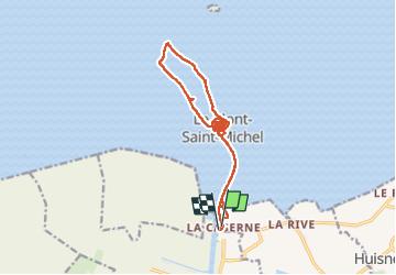


14,6 km | 15,3 km-effort

Utilisateur


Application GPS de randonnée GRATUITE
 SityTrail
IGN / Instituts géographiques
SityTrail World
Le monde est à vous
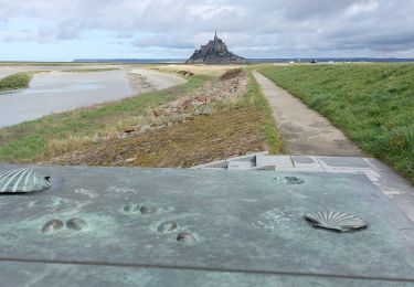
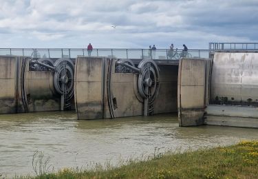
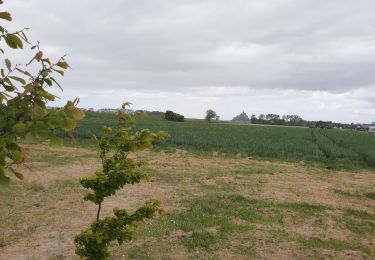
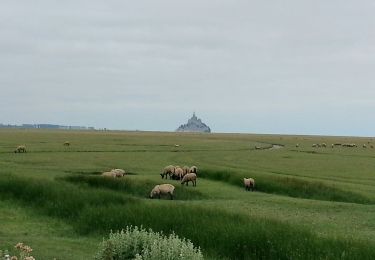
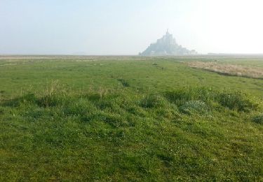
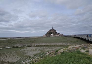
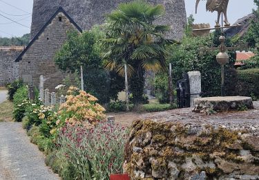
Randonnée Marche de 17,4 km à découvrir à Normandie, Manche, Le Mont-Saint-Michel. Cette randonnée est proposée par chessyca.
balade baie et visite abbaye


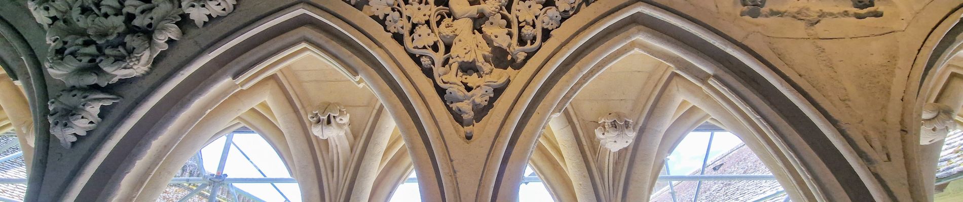
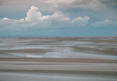
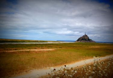
22 photos au total. Cliquez sur une photo pour les afficher toutes dans la galerie.
A pied
V.T.T.
Marche
Marche
Marche
Marche
Marche
Marche